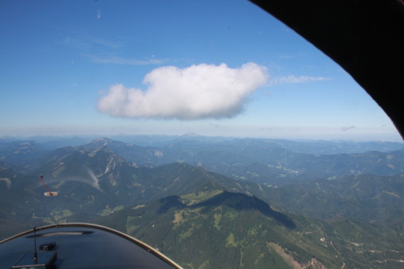
“A cloud is a visible mass of liquid droplets or frozen crystals made of water, various chemicals (or water and chemicals) suspended in the atmosphere above the surface of a planetary body.” – Wikipedia
Today, I would like to discuss this topic from a slightly different angle. As you might know, clouds are organized in layers. Let’s discuss these layers and how they affect us.
Moderate vertical
This is the lowest cloud layer and the layer that affects us most. The most important clouds on this layer are called cumulus clouds. The cumulus clouds are the type of cloud everyone thinks of when we talk about clouds. They come with a rather plain base and a fluffy looking top, which can animate our imagination about their shapes.
Cumulus clouds—or cumuli—mainly form from the spring to fall season. They are usually caused by thermal up-winds which arise when a spot on the ground is warmer than its surroundings. The air above this hot spot is warmed and because of the nature of physics, starts climbing until it reaches a so-called “inversion,” which is a level that has even warmer air. At that level, the air can’t climb any further and the contained water is condensing, causing the cloud to form. This is why all cumulus clouds in an area all exist on the very same altitude.
But, what are they good for? What are their use cases?
There are two user groups that are interested in cumulus clouds: farmers and glider pilots.
Farmers, because cumuli might mean rain (depends on proper sizing) and glider pilots, because the thermal up-wind, which caused the cumulus cloud, is a perfect up lift.
Let me say a few words about sizing…
When cumulus clouds become oversized—there is more and more warmer air climbing from the ground, bringing more condensed water to the cloud—the clouds start towering. They can tower up to very high altitudes—so, they are then referred to as towering cumulus clouds. If they reach a certain size, the internal forces basically break through and a thunderstorm is the final result. Those clouds are then called cumulonimbus.
Low layer
The clouds on the low layer are mainly stratus clouds. Although cumulus clouds are objects with more or less well-defined borders, status clouds are more like a sea of clouds without an end. Stratus clouds arise when wet air cools and can no longer hold water, which then condenses to that “cloudy layer”. When stratus clouds hit the ground, they are called fog!
Middle layer
Middle layered clouds have the prefix “alto” to indicate that they reside on a higher layer than the clouds discussed before. Depending on its origin, they are called altocumulus, altostatus, and so on.
High layer
The cloud family that forms on the high layer are called cirrus clouds. Cirrus clouds include ice crystals, which give the clouds their beautiful shapes.
I hope you enjoyed reading about some other aspects of cloud. And, by the way, its April Fools’ Day today!


